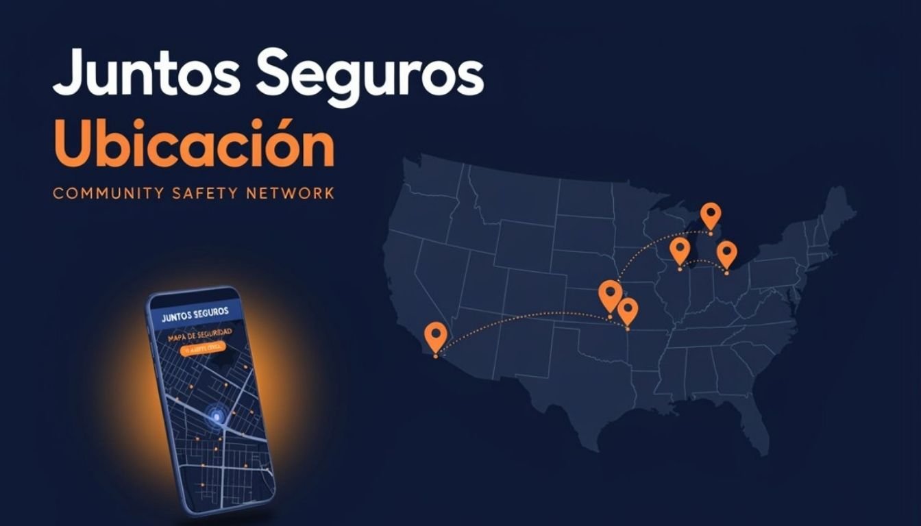
Community safety maps have become an important source of local information, helping people stay aware of nearby incidents and safety concerns. Whether someone is checking updates before traveling, monitoring activity in their neighborhood, or sharing information with others, the value of these maps depends on one critical factor: location accuracy.
A map is only as useful as the accuracy of the information it displays. If a location is incorrect by even a short distance, it can create confusion, delay responses, or cause people to misunderstand what is happening in their area. Accurate mapping helps communities make informed decisions based on reliable information instead of assumptions.
The Role of Accurate Locations in Community Safety
Every community safety map is designed to answer one simple question: Where did something happen?
Without an accurate location, even verified information loses much of its value. A report that places an incident on the wrong street or in the wrong neighborhood can lead to unnecessary concern while leaving the actual area unaware.
Accurate locations help communities by:
- Showing where incidents actually occurred.
- Helping residents understand nearby activity.
- Supporting better awareness of local conditions.
- Reducing confusion caused by incorrect reports.
- Making safety information more useful for everyone.
Instead of relying on rumors or incomplete details, users can better understand local situations when information is connected to the correct location.
How Community Safety Maps Determine Your Location
Modern community safety maps combine several technologies to estimate a user’s position.
Most platforms rely on GPS, but location information may also come from WiFi networks, nearby mobile towers, and device sensors. These systems work together to estimate where a user is at a particular moment.
The process usually involves:
- Receiving satellite signals through GPS.
- Comparing nearby wireless networks.
- Using cellular towers when GPS signals are weak.
- Refining the position with device sensors.
Outdoor locations with a clear view of the sky generally produce much more accurate results than indoor environments where signals can be blocked or reflected.
Although these technologies are highly advanced, no positioning system is perfectly accurate all the time. Small differences are normal, especially in crowded cities or large buildings.
Why Incorrect Map Pins Can Create Confusion
A small error on a digital map may seem insignificant, but even a misplaced location pin can affect how people interpret safety information.
Imagine an incident reported several streets away from its actual location. Residents living near the incorrect marker may believe they are directly affected, while people in the real area may never receive the attention the situation deserves.
Incorrect map locations can lead to:
- Confusion about where an event occurred.
- Unnecessary concern among nearby residents.
- Difficulty understanding local safety conditions.
- Duplicate reports from different locations.
- Reduced confidence in community information.
The purpose of a community safety map is to improve awareness. Accurate locations help maintain that trust by presenting information where it actually belongs rather than where it was estimated incorrectly.
Common Factors That Affect GPS Accuracy
Many people assume GPS always provides an exact location, but several environmental and technical factors can reduce its precision.
Tall Buildings
Large buildings can block or reflect satellite signals. This often causes the displayed location to shift by several meters, especially in busy urban areas.
Weak GPS Signal
Poor satellite reception makes it harder for a device to calculate its position accurately. This can happen inside buildings, underground parking areas, or locations surrounded by heavy structures.
Weather Conditions
Although modern GPS systems perform well in most weather, severe atmospheric conditions can occasionally reduce signal quality.
Device Settings
Location services may be disabled or configured to use battery saving mode, which limits positioning accuracy.
Keeping location services fully enabled usually provides better results.
Outdated Software
Older operating systems or outdated mapping applications may not use the latest positioning improvements, leading to less accurate location estimates.
Internet Connectivity
Some mapping systems combine GPS with internet based location services. Poor connectivity may delay or reduce the accuracy of displayed locations.
These factors explain why two users standing close together may occasionally see slightly different locations on their devices.
Best Practices for Sharing Accurate Locations
Accurate location sharing is not only about technology. The information entered by users also plays an important role in keeping community safety maps reliable. Before submitting any location based information, taking a few extra moments to verify the details can make the information more useful for everyone.
If you are sharing a location, keep these best practices in mind:
Confirm Your Exact Location
Whenever possible, wait a few seconds for your device to fully detect your position before marking a location. Moving too quickly or submitting information immediately after opening a map can reduce accuracy.
Check the Map Pin
Always review where the map pin appears before submitting information. If it is slightly off, adjust it manually to reflect the correct location.
Include Nearby Landmarks
Adding nearby streets, intersections, or recognizable landmarks helps others understand the location even if GPS accuracy is slightly affected.
Avoid Guessing Locations
Never place a marker based on assumptions. If you are unsure about the exact location, it is better to mention that the location is approximate rather than presenting it as completely accurate.
Update Information When Necessary
Sometimes additional details become available after an initial report. Updating location information helps keep maps accurate and reduces confusion for other users.
Small improvements like these contribute to more reliable community safety information and make digital maps more useful for everyone.
How Better Location Accuracy Improves Community Awareness
Accurate locations do more than place a marker on a map. They help communities make better decisions based on trustworthy information.
When locations are precise, people can understand what is happening nearby without unnecessary confusion. This improves overall awareness and allows communities to focus on verified information instead of speculation.
Better location accuracy also supports:
- More reliable neighborhood updates.
- Clearer understanding of local situations.
- Reduced spread of incorrect information.
- Improved confidence in community safety maps.
- Better long term data for identifying local patterns.
Over time, consistently accurate locations create a stronger information network. Community members become more confident because they know the information displayed is based on verified locations rather than rough estimates.
Reliable mapping is built through both technology and responsible participation. When accurate GPS data is combined with careful location sharing, community safety maps become far more valuable for everyone who depends on them.
Final Thoughts
Location accuracy is one of the most important foundations of any community safety map. Even the most detailed report becomes less useful if the location is incorrect or misleading.
While modern GPS technology has become highly reliable, factors such as buildings, signal quality, device settings, and user input can all influence the final location displayed on a map. Understanding these limitations helps users interpret information more responsibly.
By confirming locations before sharing them, checking map pins carefully, and providing clear location details, every community member can contribute to more accurate and trustworthy safety information. Small actions improve the quality of the entire network and help ensure that community safety maps remain dependable resources for local awareness.
Frequently Asked Questions
Why is location accuracy important in community safety maps?
Accurate locations help people understand where an event occurred, reducing confusion and improving the reliability of community safety information.
How accurate is GPS on a smartphone?
Modern smartphones are generally accurate within a few meters under good conditions, although buildings, weak signals, and environmental factors can affect precision.
What causes incorrect locations on digital maps?
Common causes include poor GPS reception, tall buildings, weak internet connectivity, outdated software, and incorrect manual location selection.
Can weather affect GPS accuracy?
Most weather conditions have little impact, but severe atmospheric conditions can occasionally reduce GPS signal quality.
How can I improve my location accuracy?
Enable precise location services, keep your device software updated, move to an open outdoor area when possible, and confirm the map pin before sharing information.
Why should users verify their location before submitting information?
Verifying the location helps ensure that community safety maps display accurate information, making updates more useful and reducing the risk of confusion for others.